


-
Sale
 The Complete Book of Saltwater FishingEverything the saltwater angler needs to know, from a long-time authority. Covers tackle and how to use it, baits and lures, the fifty most sought-after saltwater gamefish, recipes, introducing kids to saltwater fishing, and conservation issues. This edition revised and updated from the original 200...$5.00$19.95
 -
 The Cruising Guide to Abaco, Bahamas: 2016This twenty-seventh edition of the only annually updated cruising guide to Abaco includes updates for 16 of the 81 navigational charts and marina maps in the book including updates and expanded information on Sand Banks and Dont Rock passage. This edition also contains new information and suggestion...$39.95$29.95
 -
 Communications Made Simple for Cruisers: Hand Book for Starting the DreamThe 2nd Edition of "Communications Made Simple for Cruisers" provides up to date communication basics to help cruisers identify what communications equipment they will need while cruising. The edition has been updated to reflect the latest tools used by today’s cruisers. There are many options for c...$32.95$32.95
 -
 Cruising Catalina Island 2nd editionNow with 2019 mooring update, Bill McNeely's Cruising Catalina Island 2nd ed. is the authoritative boater's guide for Santa Catalina Island, CA. This is a complete re-write of the 2002 first edition, adding new coves, more photos, charts, and data, and answering all the tough questions. Covers Avalo...$32.95
 -
 Charlie's Charts: WESTERN COAST OF MEXICO AND BAJAThis all new edition is a totally updated cruising guide covering the entire Pacific coast of Mexico from The US Border, down the Baja Peninsula, around up into the Sea of Cortez all the way north to San Felipe, across to Puerto Penasco and south to Puerto Madero/Chiapas. There are 61 additional cha...$79.95
 -
Sale
 Podcast Solutions: The Complete Guide to Audio and Video PodcastingA much-needed work focusing on one of the e-community’s hottest topics, this is the second edition of a book that covers both video and audio podcasts, as well as updated software and resources. This edition is much improved and updated to cover the latest gear that readers and podcasters want to le...$15.00$29.99
 -
 Waterway Guide Southern 2015 (Waterway Guide Southern Edition)Updated annually, the Waterway Guide Southern 2015 edition is the indispensable cruising companion for boaters exploring Florida's East coast, the St. John's River, the Okeechobee Waterway, the Keys, Florida's West coast and the Gulf of Mexico to Brownsville, Texas. The guide features mile-by-mile n...$175.00$39.95
 -
 Cruising Ports: the Central American Route 6.5Updated in March, 2017, this nautical guidebook (272 pages) for boaters (sail & power) covers all the marinas, anchorages & services along Pacific Guatemala, El Salvador, Nicaragua, Costa Rica, Panama - also Mexico's Gulf Coast, Yucatan Channel, NW Cuba, Belize, Rio Dulce, Honduras and Western Carib...$409.99$59.95
 -
Sale
 Creative Containers for GeocachingNOTE: This book has been updated and replaced by "Easy Geocaching: Simple Cache Containers" by Vince Migliore. The new book includes an easy introduction to geocaching. This book presents projects and ideas for making outstanding containers and hides for geocaching. It is a how-to guide for building...$6.00$9.95
 -
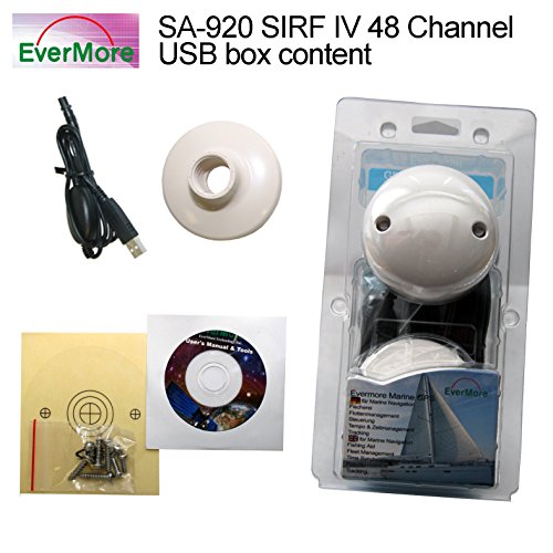 48 Channel Marine GPS USB Receiver Evermore SA-920 with SIRF Star 4 Chip for Boat, Ship - Connect it to PC, Laptop, Desktop, Notebook to receive standard NMEA Data over USB to navigate - Antenna aerial Receiver for precise Marine Navigation - highest Sensibility: -163dBmSA-920 SIRF IV USB Marine GPS Receiver. Evermore GPS Satelitte Receiver for Marine, Boat - Connect it to Pboard PC; Laptop, Desktop, Notebook to receive standard NMEA Data over USB to navigate - Marine GPS Receiver SA-920: High End GPS Receiver for Boat, Ship - Usable with Plotter, Radio, Fishfinder...$120.00$120.00
 -
 Humminbird LakeMaster Chart - Great Plains - MicroSD/SD (56242)LakeMaster Chart - Great Plains - MicroSD/SDThe Humminbird LakeMaster Great Plains Edition, Version 5 Map Card combines many of the best fishing waters for Iowa, Illinois, Kansas, Missouri, and Nebraska all on one map card.The Great Plains Version 5 map card is i-Pilot® Link&153; compatible. Version...$238.41
 -
 International Marine's Weather Predicting Simplified: How to Read Weather Charts and Satellite ImagesWeather Predicting Simplified is the first book that shows the reader, with many sample satellite photos and weather maps, how to predict the weather easily and accurately - without having to wait for hours for NOAA updates.$39.69$25.95