


-
 Humminbird LakeMaster Chart - Southeast States - MicroSD/SD (56237)LakeMaster Chart - SouthEast States - MicroSD/SDThe Humminbird LakeMaster SouthEast States Edition, Version 3 Map Card features many FRESHWATER lakes in Florida, Georgia, Alabama, Mississippi, Tennessee, and Kentucky on one micro map card with SD adapter. Also, Version 3 includes detailed coastal sh...$238.41
 -
Sale
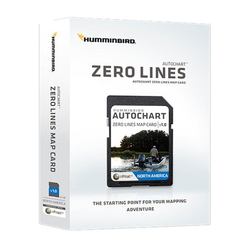 Humminbird Electronic Chart, Autochart Xero Line""The Humminbird LakeMaster MidSouth States Edition, Version 2 Map Card features many FRESHWATER lakes in Texas, Oklahoma, Arkansas, Louisiana and Mississippi on one SD map card. Also Version 2 includes detailed coastal shoreline from Texas to Mississippi that allows anglers with i-Pilot Link to "fo...See At Checkout$99.99
 -
 Navionics HotMaps Premium South U.S. Two-Dimensional Lake Maps on SD CardNavionics Hot Maps Premium South U.S., two-dimensional lake maps on SD card. Hot Maps Premium leads the way to fish. Whether you are a tournament angler or relaxing on a weekend, you can study patterns and eliminate unproductive water to target the most successful areas. With the latest content on u...$361.92
 -
Sale
 The Great Circle RouteThis,the second edition of A Guide to Planning and Cruising the Great Circle Route Around the Eastern USA, documents a motor yacht cruise of a lifetime, the 5,400-mile circumnavigation of the Eastern United States.Author Bick Remmey refers to this voyage as the longest one-way inland cruise possible...$6.00$24.95
 -
 Humminbird LakeMaster Chart - Great Plains - MicroSD/SD (56242)LakeMaster Chart - Great Plains - MicroSD/SDThe Humminbird LakeMaster Great Plains Edition, Version 5 Map Card combines many of the best fishing waters for Iowa, Illinois, Kansas, Missouri, and Nebraska all on one map card.The Great Plains Version 5 map card is i-Pilot® Link&153; compatible. Version...$238.41
 -
Sale
 Coastal NOAA Charts for Cruising Guide to Western FloridaBased on the National Oceanic and Atmospheric Administration charts, this companion to the Cruising Guide to Western Florida contains color navigational charts pertaining to the area. Not only does it give cruisers information on where to drop anchor, but also what to do once they abandon their sea...$51.21$65.00
 -
 Cruising Guide To The Northern Gulf Coast: Florida, Alabama, Mississippi, Louisiana"Young's warm and conversational writing style gives even a landlubber a comfortable trip through the navigational intricacies of sailing the coastal waters en route to the shoreside attractions that beckon all travelers." -- TouringAmerica$105.10$34.95